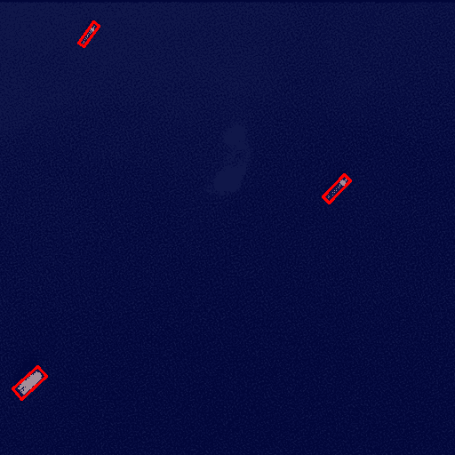
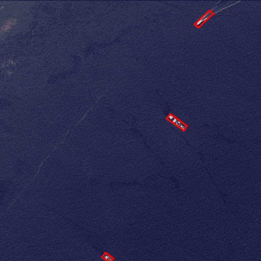
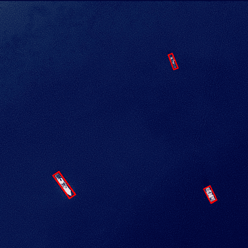
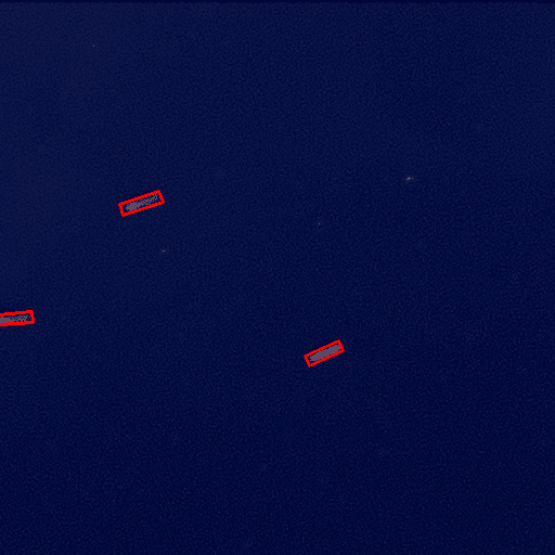
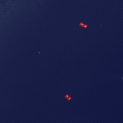
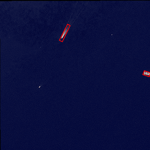
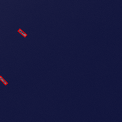
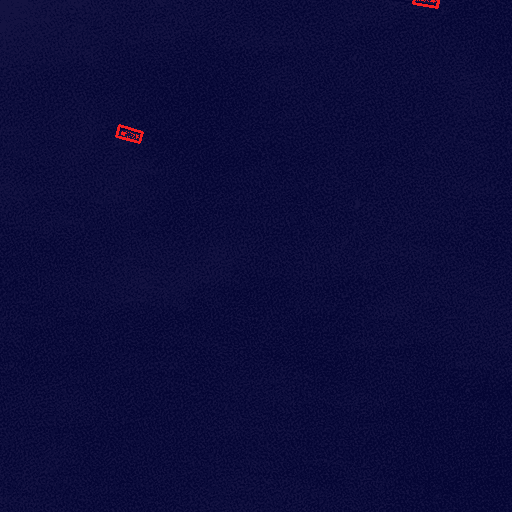
Our Vessels’ Detection service uses advanced, state-of-the-art proprietary AI models and high spatial resolution satellite imagery to detect vessels inside your geographical area of interest. The service can also monitor the ocean for vessels at night, switching to Synthetic Aperture Radar (SAR) technology. This service is highly suitable and useful for coastal municipalities, marine surveillance organizations and agencies, as well as other maritime authorities.
Access analytics powered by emerging technologies

Satellite Imagery
High spatial resolution visible satellite imagery, @3-5 meters/pixel, capable of identifying vessels of at least 10 meters length.

Artificial Intelligence
Proprietary AI models trained on extensive datasets to detect vessels with a precision of 94.8% based on visible satellite imagery.
Our research behind this AI-empowered service is described in our blog. Our research covered also the following:
- Identification of ships and real-time vessel tracking via the Automatic Identification System (AIS)
- Identification of unauthorized ships, not identifying themselves via AIS
- By estimating vessel size, classification of ships into categories such as tankers (100–300m), passenger ferries (60–200m), fishing boats (10–60m), and pleasure craft (5–40m).
- By following AIS data, determination of ship identity, and estimation of vessel’s speed and route history.
- Night-time detection of vessels by means of Synthetic Aperture Radar (SAR) technology with 97.8% precision.
Our main vessel detection service is available through the PERIOPSIS Portal. For a more tailored and specific service that includes the points above, please come in touch with us.
