How-To’s


Blog
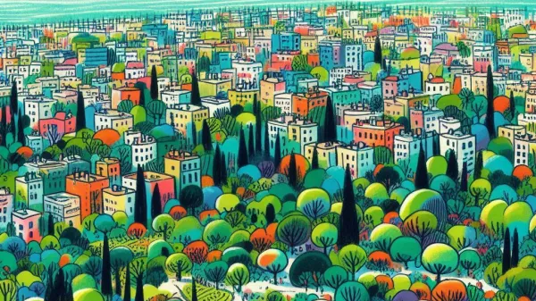
AI for cleaner cities

Maritime Vessel Detection
From illegal fishing to rescue operations — see how AI and satellite analytics improve maritime safety and sustainability.
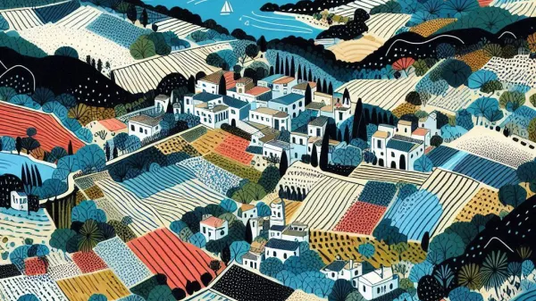
Tree Counter v2
An upgrade of our tree-detection service to map all trees around the island of Cyprus by means of Deep Learning and Remote Sensing.
CY-LULC
Land use/land cover (LULC) based on 19 different classes of LULC (agricultural, urban, rural, green areas, forests, etc.).

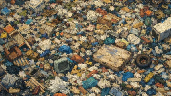
DumpMapper National Pilot
Completion of a pilot project to combat illegal waste disposal through artificial intelligence and satellite imagery

DUMPING CHARACTERIZATION
Uncovering patterns of illegal dumping across Cyprus using innovative geospatial data analysis.

Black Locust
Classify tree species in Japanese mixed forests using UAV images and deep learning, and identify the invasive species black Locust.
Buildings Finder
Estimating the area of buildings (in square meters) in Cyprus with AI and satellite imagery.

Tree Counter
Mapping all trees around the island of Cyprus based on their canopy with Deep Learning and Remote Sensing.
African Elephants
Counting African bush elephants and monitoring their wellbeing using aerial imagery and deep learning.
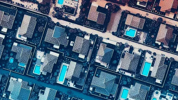
Pool Finder
Detecting swimming pools across Cyprus with high precision, using deep learning and remote sensing.