Explore incidents on the map
Summary:
Explore detection locations and map layers, then open an incident for closer review.
Before you start:
Open an existing project and select Incidents.
Explore the map
- Choose Map using the Map/List switch.
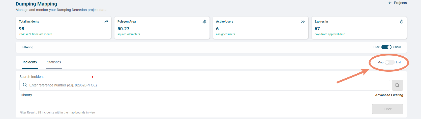
- Review active filters. Filter Result counts incidents within the visible map bounds, so it can change as you navigate.
- Use Zoom in, Zoom out, and panning to find an area. Select Enter fullscreen for a larger view.
- Use Map Menu to choose Street Map or Satellite Map.
- Select an available display layer.
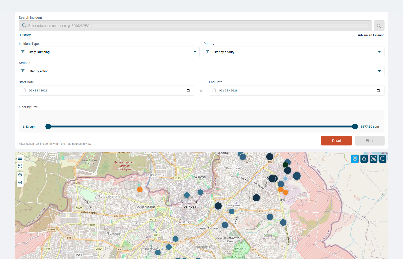
- Expand a numbered cluster or select an individual marker, then open the incident from its preview.
Icon Layer Use 
Marker Explore individual detection locations. 
Heatmap Review spatial concentration. 
Cluster Expand grouped markers to inspect an area. 
Hexbin Explore the aggregated hexagonal display.
If an incident seems missing
Check the project, filters, and visible map area, then compare List view. A map result count and a filtered list count may cover different areas.
Use detection and image dates on the incident page to assess the evidence. The satellite basemap may show imagery from a different date. Samples and other services may offer different controls.